Contiguous with US 36 for much of its length.
100 years old as of this writing, this cross-country highway is distinguished by its avoidance of major cities, especially in the Midwestern states. Maps of the named trail are scarce, but US 36 is the source of much ephemera, including maps, brochures, and postcards.
Main web resources:
Pikes Peak Ocean to Ocean Highway.
Richard F. Weingroff’s Pikes Peak Ocean to Ocean Highway: The Appian Way of America.
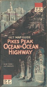
Cover image (L) shows the trailblaze version of the PPOO highway.
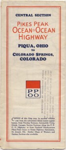
Cover image (R) dates from the 1930s. The map covers the stretch between Colorado Springs and Piqua, Ohio.
Use of sign image under Creative Commons License.
Map images courtesy of Mark Greaves.


