World’s Fair Maps – NY
This page contains maps from both New York World’s Fairs. More issues are known to exist; oil company, commercial, and officials.
1939 New York World’s Fair
To try to recoup cost overruns, this 1939 fair was extended into 1940. World War II played a large role in the decrease in exhibit numbers between the years.
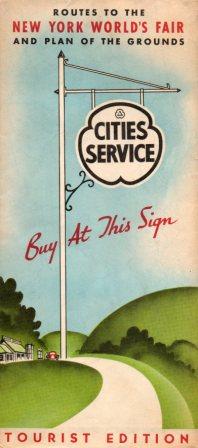 Cities Service 1939 Issue |
 Gulf 1939 Issue |
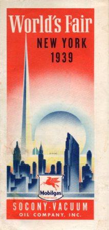 Mobilgas (Socony-Vacuum) 1939 Issue |
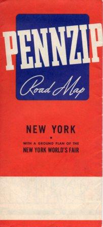 Pennzip 1939 Issue |
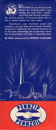 1939 reverse |
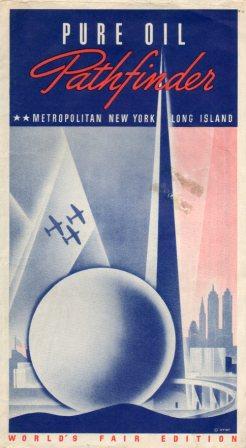 Pure 1939 reverse |
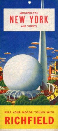 Richfield 1939 Issue |
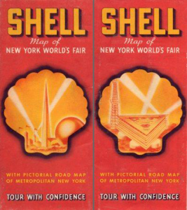 Shell 1939 issue |
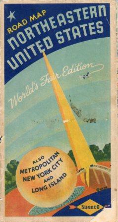 Sunoco 1939 Issue |
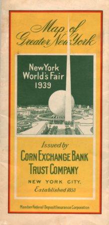 Corn Exchange Bank |
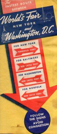 1939 Route from Washington, DC featuring ferries |
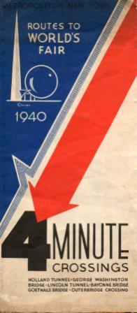 1940 4 minute crossing map 1933 Issue |
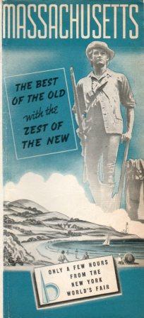 1939 Massachusetts state official map |
 1939 packet from Royal Liverpool Groups, containing road map |
1964-5 New York World’s Fair
Oil company maps for this World’s Fair are plentiful.
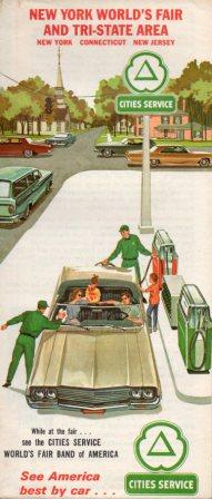 1964 Issue Cities Service before its reimaging. |
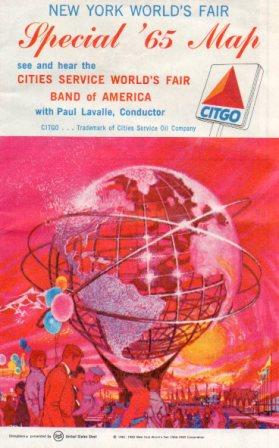 1965 Issue, Cities Service in transition to Citgo. |
 1964 Issue, Flying A as part of Tidewater Oil. |
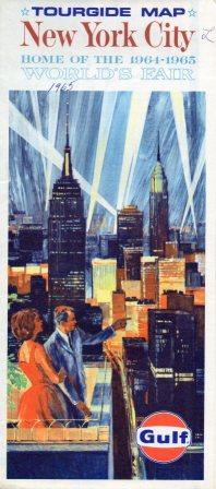 1964 issue Gulf |
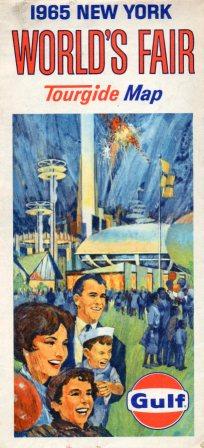 1965 Issue Gulf |
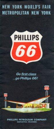 1964 Issue, Phillips 66 |
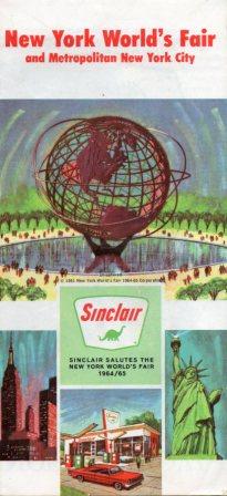 1965 Issue, Sinclair had a huge, memorable presence at the fair. |
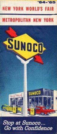 1964-5 Issue, 1960s Sunoco maps were issued biannually. |
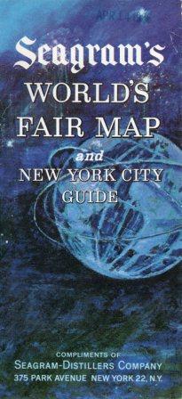 1965 Issue, 1965 map issued by Seagram-Distillers, curiously featuring a zone number, not a zip. |
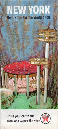 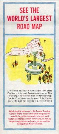 1964 Issue.This Texaco map with an unusual front cover features an image of the ‘World’s Largest Road Map,’ made of terrazzo and about half the size of a football field. 1964 Issue.This Texaco map with an unusual front cover features an image of the ‘World’s Largest Road Map,’ made of terrazzo and about half the size of a football field. |
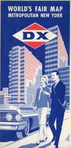 DX map of the 1964 World's Fair |

 1964 Issue.This Texaco map with an unusual front cover features an image of the ‘World’s Largest Road Map,’ made of terrazzo and about half the size of a football field.


